Image & map credits
Photos
All photos are self-hosted copies, resized, cropped and converted to WebP. We do not use organisers' photos. Our crops and resizes of CC BY-SA photos are shared under the same licence as the original. Event cards use an illustrative photo for the event type unless stated.
| Image | Used for | Author | Licence |
|---|---|---|---|
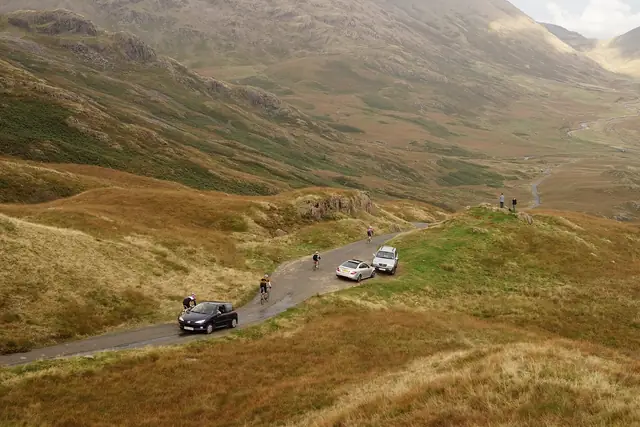 | Cyclists climbing Hardknott Pass through the fells of the Lake District, Cumbria Source | Peter Trimming | CC BY-SA 2.0 |
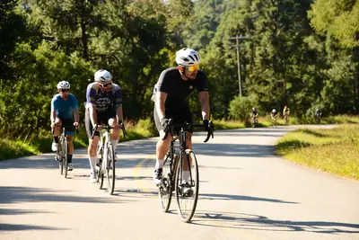 | A group of road cyclists riding along a sunny tree-lined road Source | Daigoro Folz | Pexels License |
 | A bunch of riders on a closed street with spectators Source | Guillaume Boulanger | Pexels License |
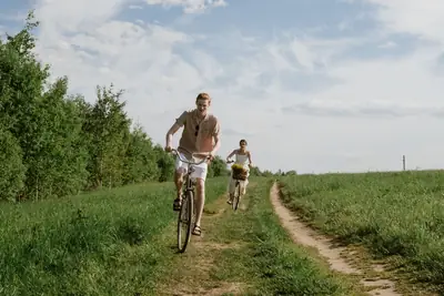 | Two riders on a dirt road between fields Source | Ron Lach | Pexels License |
 | Smiling cyclists on a group ride Source | Heriberto Jahir Medina | Pexels License |
 | An audience listening at a conference talk Source | Matheus Bertelli | Pexels License |
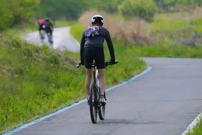 | A cyclist on a winding green countryside road Source | 대정 김 | Pexels License |
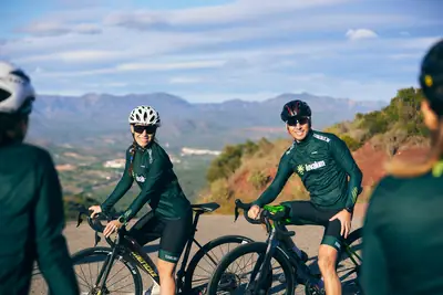 | A group of road cyclists on a mountain road Source | Tuvalum | Pexels License |
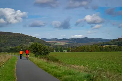 | Two cyclists on a rural path between green fields and hills Source | Lana Kravchenko | Pexels License |
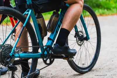 | Close-up of a rider on a gravel bike on a gravel path Source | Utopix Pictures | Pexels License |
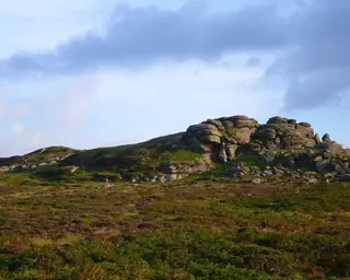 | Saddle Tor, Dartmoor, in evening light Source | Herbythyme | CC BY-SA 3.0 |
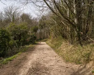 | The South Downs Way in spring Source | Arild Vågen | CC BY-SA 4.0 |
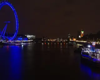 | The River Thames and the London Eye Source | mattbuck | CC BY-SA 4.0 |
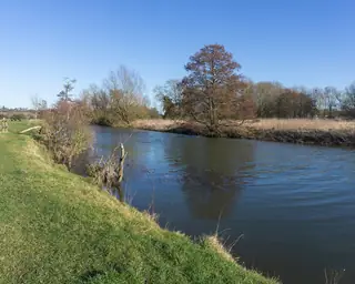 | The River Stour in Dedham Vale Source | Sumit Surai | CC BY-SA 4.0 |
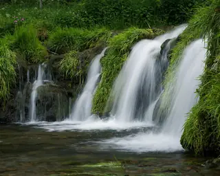 | Lathkill Dale in the Peak District Source | Julian Herzog | CC BY 4.0 |
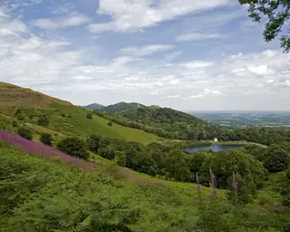 | The Malvern Hills Source | Saffron Blaze | CC BY-SA 3.0 |
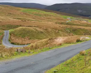 | A country road in Swaledale, Yorkshire Dales Source | Kreuzschnabel | CC BY-SA 3.0 |
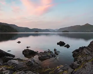 | Derwentwater from Friar's Crag, Lake District Source | Julian Herzog | CC BY 4.0 |
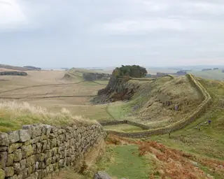 | Hadrian's Wall west of Housesteads, Northumberland Source | Steven Fruitsmaak | Public domain |
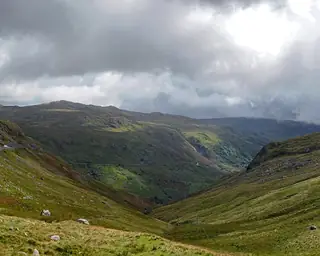 | Mountains of Eryri (Snowdonia), Wales Source | Ввласенко | CC BY 4.0 |
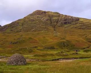 | A stone bridge in Glen Coe, Scottish Highlands Source | Daniel Kraft | CC BY-SA 3.0 |
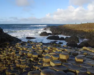 | The Giant's Causeway, County Antrim Source | Chmee2 | CC BY 3.0 |


.JPG)
Maps
- Standard: © OpenStreetMap contributors
- Topographic: Map data: © OpenStreetMap contributors, SRTM | Map style: © OpenTopoMap (CC-BY-SA)
- Satellite: EOxCloudless https://cloudless.eox.at by EOX IT Services GmbH (Contains modified Copernicus Sentinel data 2016 & 2017), CC BY 4.0
Event locations are geocoded with postcodes.io (contains OS data © Crown copyright and database right; Royal Mail data © Royal Mail copyright and database right; ONS data, OGL v3.0) and Nominatim (data © OpenStreetMap contributors, ODbL).
Region outlines: derived from Office for National Statistics boundaries (Regions and Countries, December 2023, BUC), licensed under the Open Government Licence v3.0. Contains OS data © Crown copyright and database right 2023.
Code & fonts
- Leaflet 1.9.4 – BSD-2-Clause, © Volodymyr Agafonkin (licence)
- Leaflet.markercluster 1.5.3 – MIT, © David Leaver (licence)
- DM Serif Display – SIL Open Font License 1.1 (licence), subset by us